China Maps Ocean Floor to Prepare Submarine Warfare Versus US
China's extensive ocean floor mapping signals rising undersea competition with the United States. This effort targets strategic maritime chokepoints critical for submarine operations and power projection.
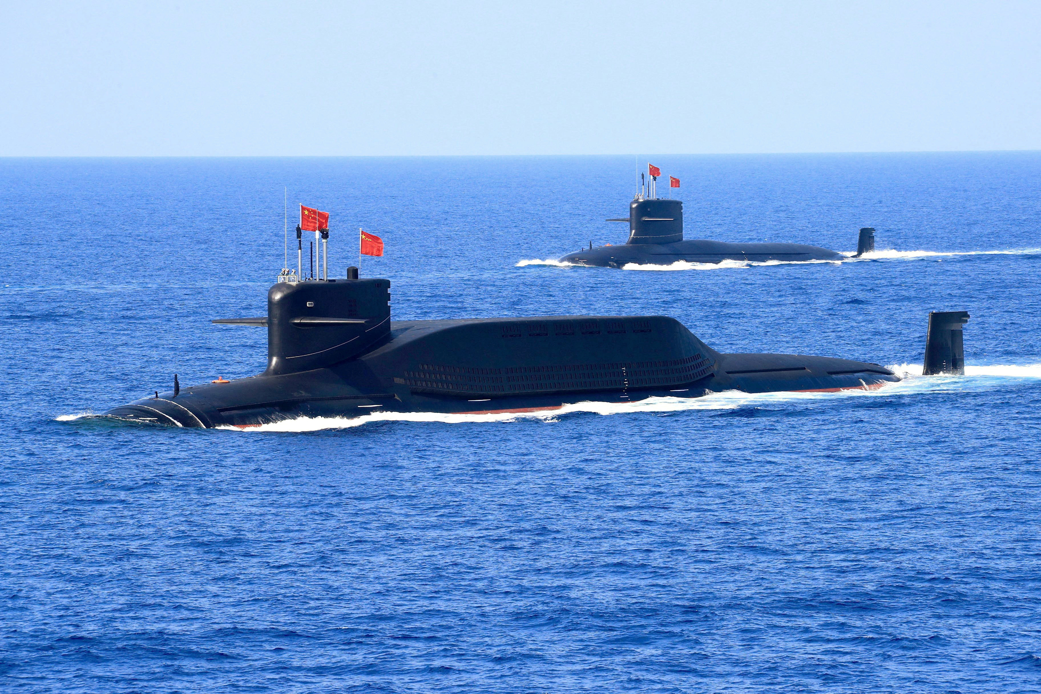
China has deployed dozens of research vessels to chart the ocean floor in key maritime regions, intensifying its undersea warfare preparation against the United States. These locations include critical chokepoints such as the South China Sea, the Philippine Sea, and parts of the Western Pacific.
Historically, control over oceanic routes and knowledge of underwater terrain have granted naval powers strategic advantages in submarine warfare. China's accelerated mapping campaign reflects its ambition to challenge US dominance beneath the waves and strengthen its Navy’s operational capabilities.
Strategically, the mapping effort enables Chinese submarines to navigate more safely and effectively in contested waters. This development directly impacts regional security dynamics and increases the stakes in US-China military rivalry, particularly in the Indo-Pacific theater.
Technically, the deployed vessels utilize advanced sonar and seabed scanning technologies capable of creating precise 3D maps of underwater topography. The program reportedly involves over 30 state-owned research ships, equipped with cutting-edge oceanographic instruments.
Looking ahead, the campaign will likely facilitate China's deployment of quieter, more effective submarine fleets and improve anti-submarine warfare tactics. This shift raises risks of maritime clashes and signals intensified undersea competition that global naval forces must monitor closely.